N'Lab
FOMANAP - Training of Madagascar National Parks : following-up deforestation, carbon measurement, GIS ...
Start
March 2013
End
April 2013
Role in the project
Deforestation, carbon, remote sensing and GIS expert
Main goals
Training of Madagascar National Parks
Specific objectives
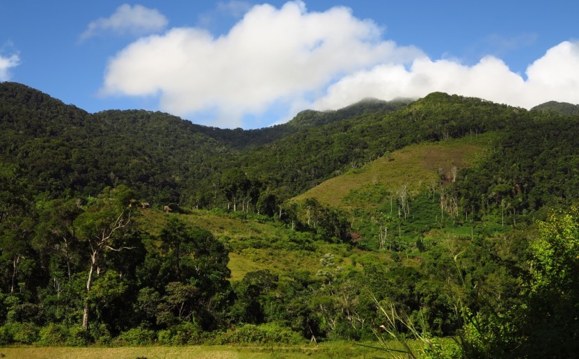
- Historic analysis of the deforestation : PHCF methodology
- Modelling of future deforestation : in partnership with CIRAD
- Measurement of carbon stocks and aerial biomass : dendrometric data conversion collected into the field in carbon stocks (tC/ha). Practical application of Mantadia protected area.
- Carbon stocks and aerial biomass cartography : in partnership with CIRAD
Related people
Project Manager / France
Clovis Grinand
PhD in Functional Ecology and Agronomic Sciences (SupAgro, IRD and CIRAD) and specialized in Localized Information Systems for Spatial Planning (AgroParisTech), he is an expert in land use change monitoring using remote sensing, digital soil mapping and spatial modeling applied to forestry, agronomy and landscape ecology. He is the author of numerous international scientific publications.
See morePlease refer also to
PHCF2 - Holistic Conservation Programme…
See more