GEO4AGRI - Participation in the feasibility study of the GeoForAgri project
Partners
Main goals
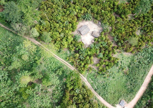
Based on the lessons learned from the OSFT, GEOFORAFRI and OSFACO projects, AFD, associated with the National Center for Space Studies (CNES), undertook to carry out, with the support of CIRAD, IGN FI and the IRD, a feasibility study for a project to strengthen the use of satellite imagery in support of agricultural and natural resource management policies in West Africa, with Senegal and Ivory Coast as prime target countries.
The objective of this service was to contribute to the realization and restitution of this feasibility study for Ivory Coast.
Specific objectives
O1. Conduct surveys of different institutions or actors in the field of agriculture and remote sensing
O2. Co-organize a national workshop to report the results of the feasibility study
Beneficiaries
AFD, CIRAD, IRD, CNES, IGN FI
Results
R1. Survey results
R2. Organization of the workshop
Activities
A1. Conduct surveys of different institutions or actors in the field of agriculture and remote sensing
A2. Co-organize a national workshop to report the results of the feasibility study
Related people
Clovis Grinand
PhD in Functional Ecology and Agronomic Sciences (SupAgro, IRD and CIRAD) and specialized in Localized Information Systems for Spatial Planning (AgroParisTech), he is an expert in land use change monitoring using remote sensing, digital soil mapping and spatial modeling applied to forestry, agronomy and landscape ecology. He is the author of numerous international scientific publications.
See moreERPDIVOIRE - Support for the developmen…