Improving Territorial Planning Using a Regional GIS
The Mahavotra 2 project ended in August this year after 3 years of activities. Nitidæ was involved in 4 of the 6 components of the project and more specifically for:
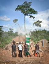
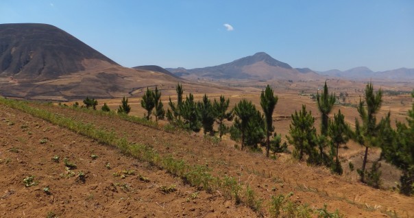
- support plantation and micro-forest management activities
- strengthen territorial planning capacities through the creation and support of a regional GIS unit
- evaluate and calculate the environmental and socio-economic impact of forest plantations and following the adoption of agroecological practices
Media and capitalization documents are available below.
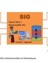
Concerning the activity "Regional GIS", Nitidæ realized:
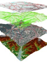
- a diagnosis "resources and uses of GIS at the scale of the Itasy Region" which initiated the reflection on the interest of a Regional Geographical Information System
- following this diagnosis, and in consultation with the regional actors, a GIS cell was created by regional decree
- various GIS training technical service technicians to reinforce the capabilities of this newly created GIS cell
- but also to accompany the data collection and structuring of a regional database
- the participation of Nitidæ in land development projects, especially for the development of Municipal Planning Schemes
- finally support for the production of regional reference maps.
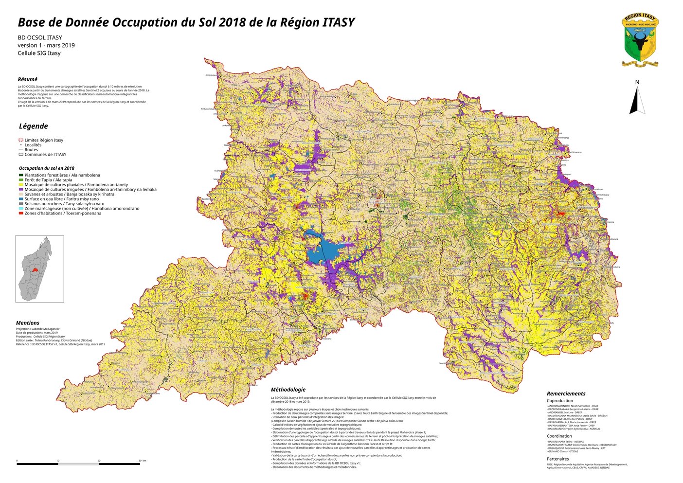
More than a dozen 2 to 3 day training courses were conducted with an average of 20 participants. Two reference maps have been co-produced by the GIS unit and with the regional technical services:
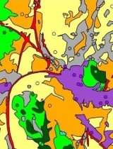
- a hydrological database (BD HYDRO), and
- a database on land use (BD OCSOL) for the year 2018, from the processing of satellite images.
Many data requests and card production were received and processed by the GIS cell. Finally, a geoportal prototype www.geoitasy.com was set up and presented during the second regional GIS workshop organized at the Hôtel de Région de Paris in May 2019.
In conclusion, a nice dynamic has been launched over the last 2 years and it is likely that Itasy is the first region in Madagascar to have such a regional tool for monitoring, piloting and planning.
Related projects
MAHAVOTRA 2 - Forestry, agroforestry and land use planning in Madagascar - Itasy region
See moreRelated documents
History and achievements of the regional GIS in Itasy
Diagnosis of resources and use of Geographic Information Systems (GIS) in the Itasy Region
Report of identification of agro-ecological systems by remote sensing in Itasy Region