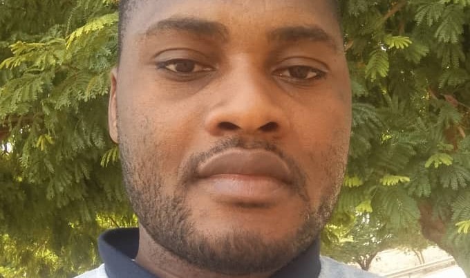
Fié Traoré

Biography
After graduating from studies in Geography, he specialised in remote sensing and Remote Sensing and Geographical Information System applied to Environment management and Sustainable Development. He is currently a doctoral student in ecology, environment and sustainable development at Joseph KI-ZERBO University as part of the WASCAL-LANDSURF programme. His academic and professional career revolves around spatial analysis, applied geomatics and territorial dynamics, in the service of environmental sciences.
With a strong experience in thematic mapping, landscape fragmentation, land-use modelling and the study of rural environments, he aims to use an integrated, rigorous approach geared towards decision support, territories understanding and sustainable management.
He has recently taken up the post of GIS and Remote Sensing Task Officer at Nitidæ in Ouagadougou. He will be contributing to various projects in Burkina-Faso and West Africa on geomatic aspects. As part of strategic initiatives such as WAKANDA, TERROIRS and Land-At-Scale, he will be involved in analysing the dynamics of land use, forest cover, deforestation and environmental inventories.
