PARC MIKEA - Study on historical deforestation and scenarios of future deforestation
Partners
Main goals
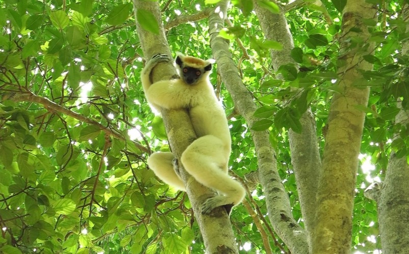
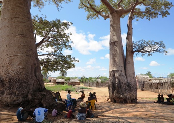
In response to a significant loss in forest cover experienced by the Atsimo Andrefana Region (Madagascar), particularly around Mikea National Park, the Wildlife Conservation Society (WCS) is implementing a project to promote organic cotton in order to develop an alternative livelihood method to slash-and-burn agriculture for rural populations.
In this context, WCS asked Nitidæ (ex-Etc Terra) and Biotope to conduct a study on historical deforestation around the park so as to create future deforestation scenarios based on reliable and spatialised data.
Specific objectives
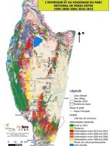
- Map the tracts of forest and deforestation plots from 1990 to 2015
- Identify direct and indirect causes of deforestation and the impact of cotton on past and present dynamics
- Produce various scenarios of future deforestation according to the introduction of alternative practices such as organic cotton production
Results
Results show deforestation rates that reached in 2015, 3.82%/year in and around the park which places this region among the highest rates of deforestation of the planet.
Traditionally, slash-and-burn agriculture has been the main cause of deforestation. However, currently the impact of fire on the forest is increasing and is emphasised by degradation due to (i) illegal but widespread exploitation of rosewood and ebony and (ii) creation of windfall by cyclones.
These fires are lit for a number of reasons: voluntarily for the easy acquisition of new land for agriculture or accidentally when harvesting non-timber forest products or grazing maintenance.
While cotton growing has historically been a direct cause of deforestation or indirect cause by the reinvestment of additional benefits in new land at the edge of the forest, it is now located in savannah areas near highways and Tulear. It is a significant source of income for producers reducing their dependence on slash-and-burn agriculture.
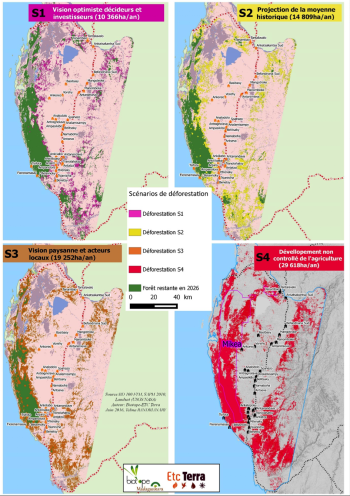
Possible scenarios of future deforestation (see figure below) were based on the result of consultations with local stakeholders (via focus groups) and shows that in the absence of intervention providing convincing alternatives and guaranteeing law enforcement, the integrity of the Mikéa National Park is seriously threatened. The latest can completely disappear by 2026 in the case of the most pessimistic scenario.
Activities
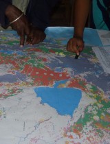
The methodology was based on the 1990-2015 analysis of satellite images (a similar approach to the one already published by the Lab) coupled with field surveys in order to identify and locate the different causes of deforestation and their potential future increases.
Potential scenarios of future deforestation
Related documents
MIKEA final report of component 1 - Historical analysis of deforestation in the study area between 1990-2015 in Madagascar
MIKEA final report of component 2 - Analysis of agents, causes and factors of deforestation and production of projections of future rates o…
Related people

Clovis Grinand
PhD in Functional Ecology and Agronomic Sciences (SupAgro, IRD and CIRAD) and specialized in Localized Information Systems for Spatial Planning (AgroParisTech), he is an expert in land use change monitoring using remote sensing, digital soil mapping and spatial modeling applied to forestry, agronomy and landscape ecology. He is the author of numerous international scientific publications.
See more
Marie Nourtier
PhD in Forest sciences conducted at INRA Avignon, EMMAH research lab, she brings her expertise in forest ecology, support for REDD+ mechanism and carbon accounting, Environmental and social impact assessment of projects, project management and supervision of technical work
See moreBIOSCENEMADA - Scenarios of biodiversit…