N'Lab
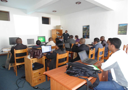
QGISF - QGIS basic training for Engineer Without Border (EWB)
Start
July 2012
End
November 2015
Role in the project
GIS expert
Partners
Main goals
QGIS basic training for Engineer Without Border (EWB)
Specific objectives
- GIS presentation, GIS data organization and structuring
- Import, display and manipulation of vector layers
- Creation and editing processes of vector data, projection and reprojection
- Importation of GPS data, cartographic layout
- Raster data presentation, pre-treatment and manipulation
- Interoperability QGIS / Google Earth
Related people

Project Manager / France
Clovis Grinand
PhD in Functional Ecology and Agronomic Sciences (SupAgro, IRD and CIRAD) and specialized in Localized Information Systems for Spatial Planning (AgroParisTech), he is an expert in land use change monitoring using remote sensing, digital soil mapping and spatial modeling applied to forestry, agronomy and landscape ecology. He is the author of numerous international scientific publications.
See morePlease refer also to
PHCF2 - Holistic Conservation Programme…

See more