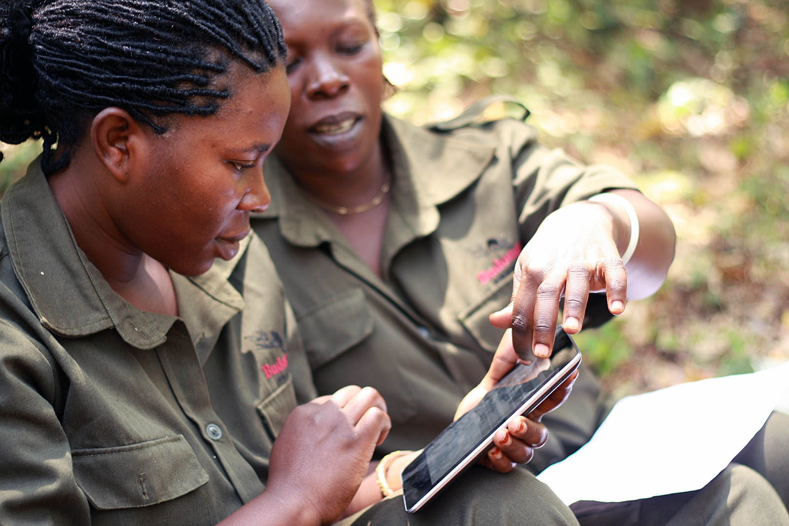
Deforestation early warning system on smartphone tested in Madagascar
In order to fight against deforestation in the New Protected Area of Beampingaratsy, which is being created as part of the Talaky project in the south-east of Madagascar, we are using an innovative tool for monitoring forest felling by smartphone. This allows us to detect slash and burn very quickly (1 to 2 weeks after the event) and to know precisely where to send field patrols to monitor deforestation and remind the populations of the regulations linked to the NAP. Subsequently, the project teams will use this tool to indicate to the competent authorities (DIREDD in Madagascar) the location of infringements to be checked.
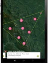
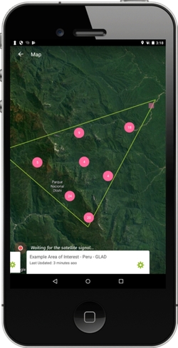
The application is Forest Watcher, being used as an early warning system for deforestation.
Automatic detection of tree cover losses
This application provides free access to tree canopy loss alerts, GLAD (Global Land Analysis & Discovery – those alerts are created every 2 weeks thanks to the automatic detection of a loss of vegetation cover on Landsat satellite images, 30m of resolution), and fire alerts, VIIRS (Visible Infrared Imaging Radiometer Suite – these alerts are created by the detection of heat sources thanks to the MODIS satellite), in the form of GPS points displayed on a map in a given area.
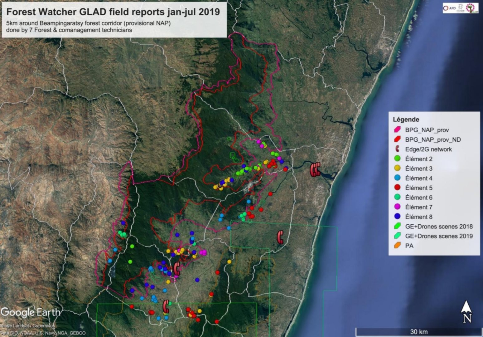
A real asset for the New Protected Area of Beampingaratsy management
We are currently using the tree cover loss alerts. Technicians receive the updates (new alerts every week) and go to check a sample of them at the time of field openings by slash and burn agriculture (tavy). We ensure that the use of the tool evolves as the association's needs change and application updates. We also provide feedback to the creators of the application. Within the same area, this tool will then be used in the surveillance system of the New Protected Area of Beampingaratsy in conjunction with the DIREDD teams.