Documents
Filters
532
results
Project report
Agriculture, Organic Agriculture, Agroecology, Agroforestry, Climate
Methodological support for the establishment and coordination of the PROTEGE network of agroecology demonstration farms in New Caledonia, F…
Project report
Agriculture, Agroforestry, Bioenergy, Biodiversity, Market, Remote sensing
Progress report from January to June 2024 - ACAMOZ 2 (portuguese)
Pedagogical
Agriculture, Organic Agriculture, Agroecology, Climate
Guide to identify and support cocoa producers facing the risks of conversion to organic farming
Pedagogical
Agriculture, Agroecology, Agroforestry, Climate, Forest
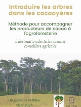
Guide to introducing trees into cocoa farms and supporting cocoa producers in agroforestry
Communication
Agroprocessing, Bioenergy, Climate, Market
Environment, Social and Governance from kernel to butter - a rating system at the cooperative level
Communication
Agroprocessing, Bioenergy, Climate, Market
Starting from scratch: developing an organic, sustainable and carbon traceable shea supply chain in Côte d’Ivoire
Technical document
Agriculture, Agroprocessing, Bioenergy, Market
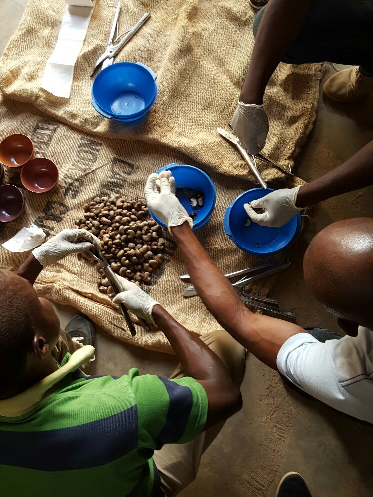
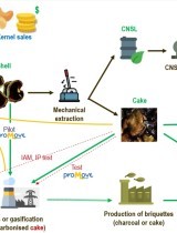
Estudo de mercado sobre subprodutos da casca do caju em Moçambique
Communication
Agriculture, Agroprocessing, Bioenergy, Market
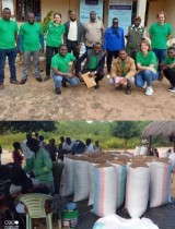
Presentation - Improvement of Mozambican Cashew processing competitiveness and sustainability through energetic conversion of cashew shell…
Communication
Agriculture, Agroprocessing, Bioenergy, Market
Apresentação - Apoio à competitividade e a sustentabilidade do processamento do caju a través da valorização energética dos subprodutos da…
Project report
Agriculture, Climate, Forest, Market
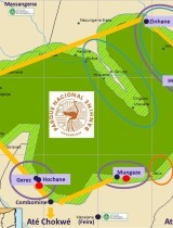
Report 1 - Supporting the development of a sustainable cashew value chain in Banhine National Park Mozambique
Technical document
Agriculture, Agroprocessing, Bioenergy, Market
Market study on cashew shell by products in Mozambique
Technical document
Organic Agriculture, Agroforestry, Spatial Planning, Bioenergy, Climate, Forest, Market, REDD+, Remote sensing
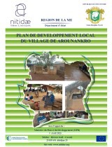
Arounankro - Local Development Plan (LDP), co-constructed as part of the PRM2 Project
Technical document
Organic Agriculture, Agroforestry, Spatial Planning, Bioenergy, Climate, Forest, Market, REDD+, Remote sensing
Bassadzin - Local Development Plan (LDP), co-constructed as part of the PRM2 Project
Technical document
Organic Agriculture, Agroforestry, Spatial Planning, Bioenergy, Climate, Forest, Market, REDD+, Remote sensing
Danguira - Local Development Plan (LDP), co-constructed as part of the PRM2 Project
Technical document
Organic Agriculture, Agroforestry, Spatial Planning, Bioenergy, Climate, Forest, Market, REDD+, Remote sensing