Etienne Duperron

Biography
Graduated of an agricultural engineering school (INP-ENSAT), he specialized in spatial information processing via the Master 2 in Geomatics Sciences in Environment and Planning (SIGMA) from the University of Toulouse Jean Jaurès. After working for two years on forest degradation and reforestation in the Brazilian Amazon, he joined the team to provide support on processing, analysis and spatial modeling related to the development and sustainability of territories, mainly in Mozambique
Position
Task Officer / France
Nationality
France
Years of experience
7 years
Related tags
Related projects
Namibia
Bioenergy, Forest, Modeling, ICT
BISBI - Implementation of a nationwide spatial tool to monitor the evolution of invasive species and their collection as part of the installation of…
See more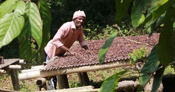
Côte d’Ivoire
Organic Agriculture, Agroforestry, Spatial Planning, Bioenergy, Climate, Forest, Market, REDD+, Remote sensing
PRM2 - Preserve the biodiversity of Mabi-Yaya & Strengthen the socio-economic development of the Mé
See more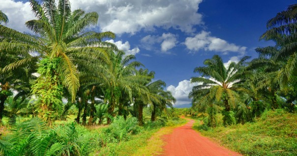
Côte d’Ivoire
Agriculture, Agroprocessing, Spatial Planning, Bioenergy, Forest, Market, Remote sensing
MASSELEC - Biomass supply potential study in Southern Côte d’Ivoire
See more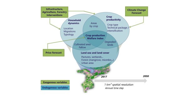
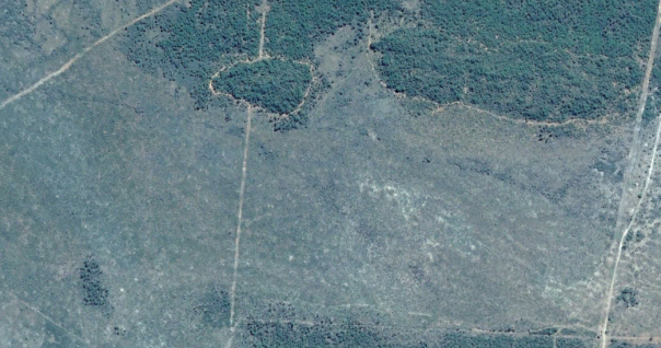
Mozambique
Spatial Planning, Climate, Degradation-Restoration, Forest, Modeling, Remote sensing
LUCCIA - Co-development of a simulation and decision support tool for land use planning and impact assessment in the context of climate change
See more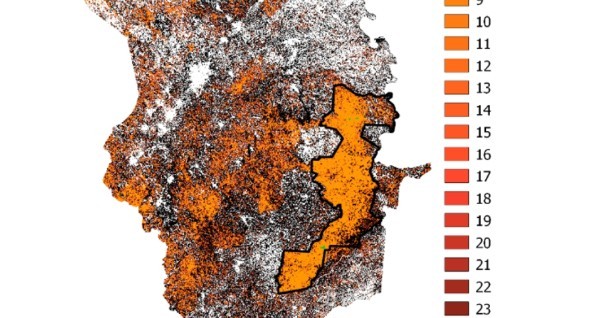
Côte d’Ivoire
Biodiversity, Climate, Forest, REDD+, Remote sensing
YAREDD - Feasibility study of a REDD+ project on the Mabi Yaya Nature Reserve in Côte d'Ivoire
See more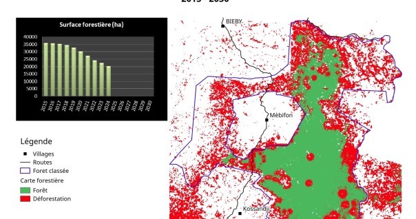
Côte d’Ivoire
Agriculture, Spatial Planning, Degradation-Restoration, Forest, Modeling, Remote sensing
LUPS - Development of a spatial module for the Land-Use Planner tool
See more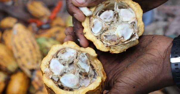
Côte d’Ivoire
Agriculture, Agroforestry, Spatial Planning, Climate, Degradation-Restoration, Forest, Market, REDD+, Remote sensing